
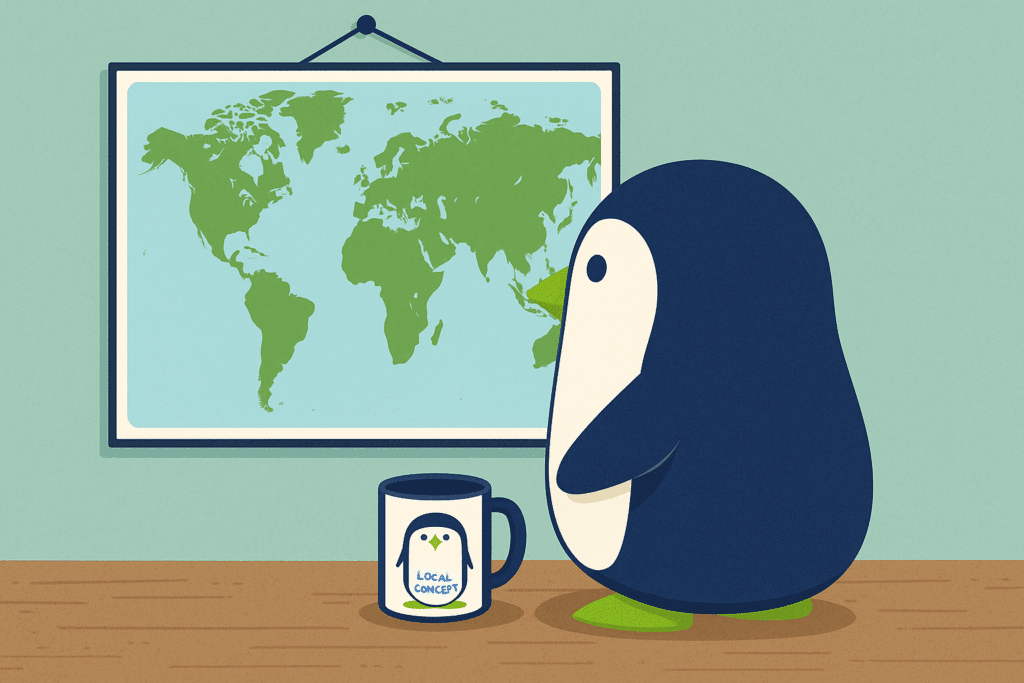
Maps don’t just show places, they show how we see the world. When you look at a map, it might seem simple. North is at the top. Countries are where you expect. But maps don’t just tell facts. They tell stories, and those stories depend on who made the map.
Why Is North Always Up?
It hasn’t always been. Long ago, some maps had south or east at the top. But when Europe became powerful, mapmakers started putting Europe on top. That made it look more important. Today, almost all Western maps still follow that style. Chinese maps also are oriented with north on top, but centered around the Pacific Ocean.
What’s Wrong with the Mercator Map?
The Mercator map is one of the most common maps we see. It was made for sailing, not for showing true size. That’s why Greenland looks huge (almost the size of Africa) even though Africa is much, much bigger. This can make smaller countries look more important, and bigger ones seem small.
Maps Can Leave Things Out
Maps are made by people, and people make choices. Some maps change names of places, leave out small countries, or draw borders in a way that helps one side more than another. That means maps aren’t always fair or true.
Maps Are Powerful
Maps have been used to claim land, win wars, and control people. Even today, maps from different countries may show borders in different ways. A map is not just a picture, it’s a point of view.
Next time you see a map, ask yourself: Who made it? What story are they trying to tell?